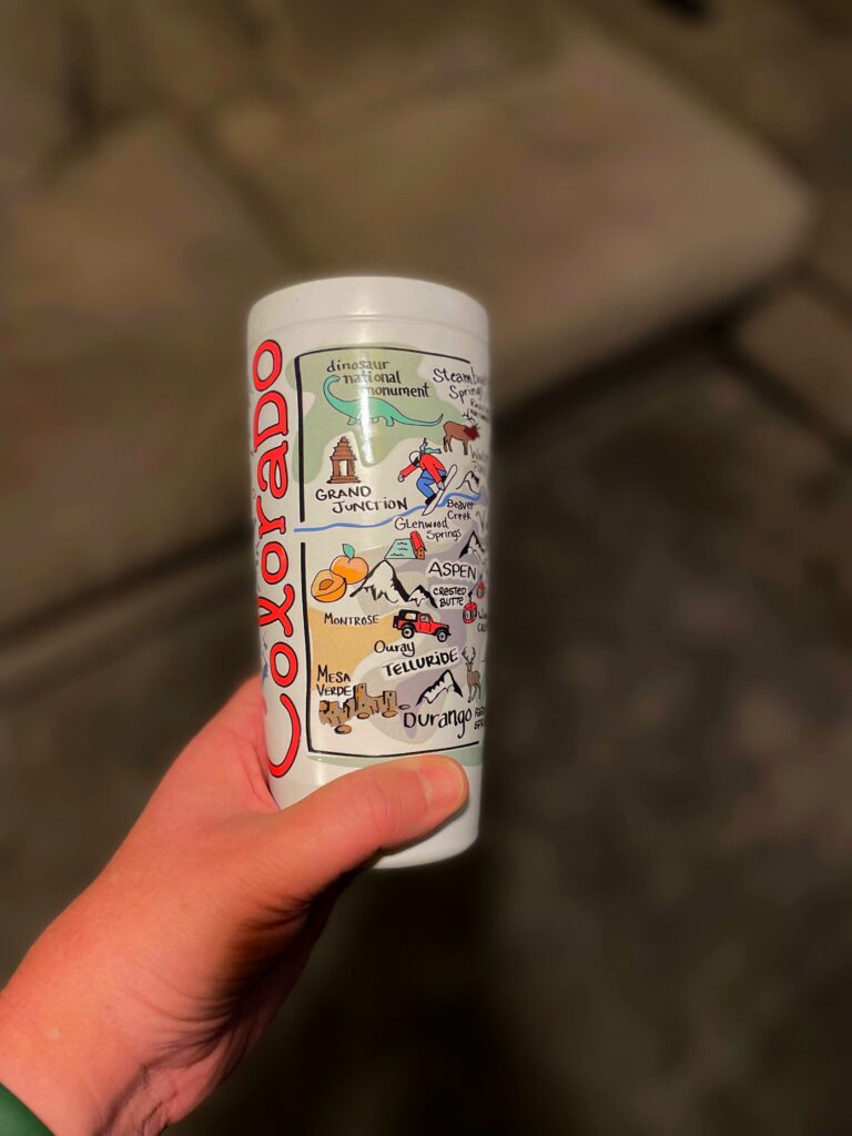
Colorado Roads Conditions and Denver Traffic
Whether visiting Colorado for a family vacation, staying in Denver for a convention, just driving out to Denver International Airport, or considering a move to the Denver area, one of the most unpredictable elements of life in Colorful Colorado is the current road conditions on major highways, Interstates, and city streets. If Colorado’s fast changing weather weren’t enough, the state’s geography ensures that what is happening in Denver, isn’t necessarily anywhere near the same thing that is happening in the foothills, or mountains, or even just twenty miles north or south.
Typically, summer road conditions in Colorado are of limited concern to tourists and residents alike. Although spring thunderstorms and the occasional summertime microburst can cause heavy rains, they are generally short-lived, and confined to a small area. Keep driving, and a few minutes later, the concerning weather is far behind in the rear-view mirror. If it ever does get bad enough, pulling over on the side of the road and waiting five or ten minutes will most likely bring more favorable conditions.
In fact, most Coloradans fear the problems caused by road construction in the Summer much more than those caused by Summer weather.
Colorado’s Winter Roads, Denver Snowplows, and Ice
On the other hand, winter driving conditions in and around Denver can range from dangerous whiteouts on slick ice covered streets, to bright sunshine and dry pavement, and that’s just in a 40 mile radius! Fast moving weather fronts can mean that driving from Loveland to Denver in the morning on clear, dry roads, will be a distant memory come evening with blowing snow and blizzard conditions on the highways.
Weather forecasts are often no help in this area either. The Rocky Mountains enormous geologic footprint casts an equally long shadow across the world of meteorology. Light storms predicted just the night before can turn into raging winter storms, and forecasted blizzards often turn out to be just a couple of inches of fluffy white snowfall.
Fortunately, the Colorado Department of Transportation, known locally as CDOT (pronounced see – dot) provides road condition updates around Denver and all over Colorado. These updates are broadcast frequently on radio stations around the state.
Even more useful is a website maintained by CDOT and its Intelligent Transportation Systems or ITS branch. Found at www.cotrip.org the COTrip website provide current road conditions, weather maps, drive times around the Denver Metro area and along popular highway and Interstate routes, as well as live traffic information and traffic jam flags. Of course, why take CDOT’s word for it when you can see for yourself.
CoTrip has links to dozens of traffic cameras all over the state. There is no need to wonder what things look like near the Eisenhower Tunnel. Just pop over to CoTrip and look at the tunnel’s traffic cam. Other traffic cams are setup around the state and there are several dozen Denver traffic cams pointed at both I-25 and I-70, as well as along those numerous city streets that are technically Colorado State Highways.
Make COTrip the starting point for researching current and upcoming driving conditions.
Categories: Colorado Travel Tags: CDOT, Colorado, colorado department of transportation, Denver, road conditions in colorado, traffic, traffic cameras, winter driving conditions, winter roads
Rocky Mountain National Park
Rocky Mountain National Park, RMNP is the crown jewel of Colorado’s great outdoors. Covering some 415 square miles, the park lies north and west of the Denver area. Of course, the park envelopes part of the Rocky Mountains mountain range that runs from Canada down across virtually the entire width of the United States, finally petering out somewhere in New Mexico.
Within Rocky Mountain National Park are 17 peaks higher than 13,000. The highest mountain in RMNP is Long’s Peak, with a peak elevation of 14,255, making it one of Colorado’s famed "14ers," mountains with a top elevation above 14,000 feet. But, there is more to Rocky Mountain National Park than just high mountain tops.
Much of the park’s land has an elevation of just 7,500 to 9,000 feet. While, still most defiantly mountainous, the terrain and scenery at this elevation can be beautiful and lush. In addition, it is packed with all manner of animals including, elk, bears, wildcats, several species of deer, moose, beavers, and the official state animal of Colorado, bighorn sheep. Recently, Canadian Lynx were also reintroduced to the park, as part of a national effort to repopulate the Lynx’s former habitat within the United States.
Trail Ridge Road
One of the favorite ways to enjoy Colorado’s largest national park is by taking a scenic drive over Fall River Pass on Trail Ridge Road. In addition to consistently being named one of America’s most scenic drives, Trail Ridge Road holds the distinction of being the highest paved road in the U.S.
There are numerous places along the road to pull off and take in the beautiful mountain scenery. Watch for signs designating scenic viewpoints. The twisty nature of the mountain road can make it hard to see these areas until drivers are right on top of them, so the signage warning, is the best way to ensure that you don’t miss anything, while not having to jam on your breaks and crank the steering wheel to avoid missing it.
Near the summit of Trail Ridge is the Alpine Visitor Center on Fall River Pass. The visitor center itself sits at 11,796 feet. The large wooden sign outside makes a favorite tourist photograph and a great keepsake souvenir of any traveler’s visit to the Rocky Mountains.
The full drive is 48 miles long and takes around 3 hours for those used to driving in the mountains, and a bit longer for "flatlanders" or those from areas without any hills or mountains. Trail Ridge Road is only open during the summer months. During the winter, snowfall and wind make it impossible to keep the road open. Highway crews try to get the road open by Memorial Day each year. It usually closes sometime in October when the snow drifts start to overmatch the plows.
Trail Ridge begins as branch off of Fall River Road which passes through the Fall River Entrance to Rocky Mountain National Park. It is also designated as U.S. Highway 34. It winds its way up the mountains until Milner Pass which sits astride the Continental Divide. From there, it runs back down to the Southwest side of the park and the Grand Lake Entrance.
Estes Park
To get to the road from Denver, visitors head for Estes Park. Estes Park is a small mountain town whose primary purpose is to be the town next to the national park entrance. For the most part, it is composed of a main street and two or three blocks extended outward on either side. However, there are some great little pockets of charm, beauty, and fun to be explored. These include the Stanley Hotel, made famous by the movie The Shining — the good one with Jack Nicholson. The exterior shots of the sinister Overlook Hotel are of the Stanley Hotel, though the interior of the hotel was not used for the movie which was shot on a Hollywood movie set.
The quickest way to Estes Park is to take I-25 northbound to U.S. 36 (a.k.a. Boulder Turnpike). Travel on U.S. 36 through Boulder and Erie. The highway then winds its way all the way up to Estes Park.
Numerous signs in Estes Park point the way to Rocky Mountain National Park and the nearby Fall River Entrance.